Joan Blaeu: Master Cartographer of the Dutch Golden Age
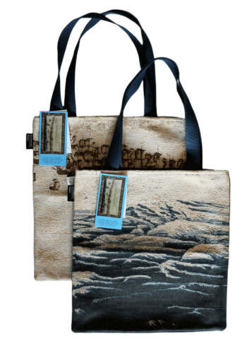
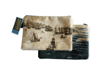
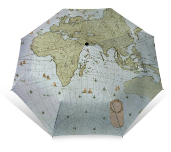
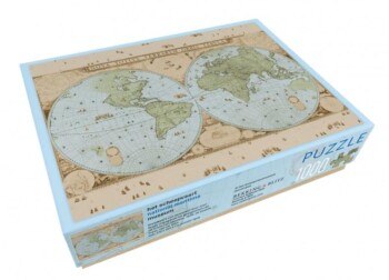
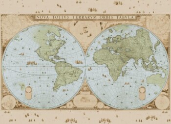
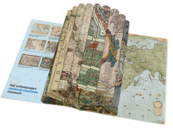
One of the absolute highlights of The National Maritime Museum in Amsterdam is Joan Blaeu’s map of the world, dating from 1648. Its size is impressive – over 2 by 3 metres – and at the time it displayed the most up-to-date knowledge of the world we live in. This version of the map, with Blaeu’s writing and a new depiction of China, is absolutely unique.
The Amsterdam-based firm Blaeu
The firm Blaeu was the biggest producer of maps in the seventeenth century. Blaeu’s maps were based on earlier maps, traditions passed down through the generations, as well as the latest discoveries. The Blaeu firm’s bookshop was established ‘on the water’, on what is now the Damrak in Amsterdam. This location, so close to the port, was no fluke: this was where new products and information arrived from exotic locations across the globe. Seamen, merchants, scholars and regents were drawn to Blaeu’s firm, fascinated by his knowledge and skills. The firm’s cartographical knowledge influenced the entire world’s view of itself, with many cartographers attempting to imitate or surpass Joan Blaeu.








Reviews
There are no reviews yet.